TripsQuick
Ask the water.
A platform for US fishing waters: one page per lake or river with official depth maps, fish species, stocking records, boat ramps, a bite forecast and an AI assistant you can simply ask.
- Sector
- Outdoor · USA
- Stack
- Next.js · PostGIS · PMTiles · AI agent
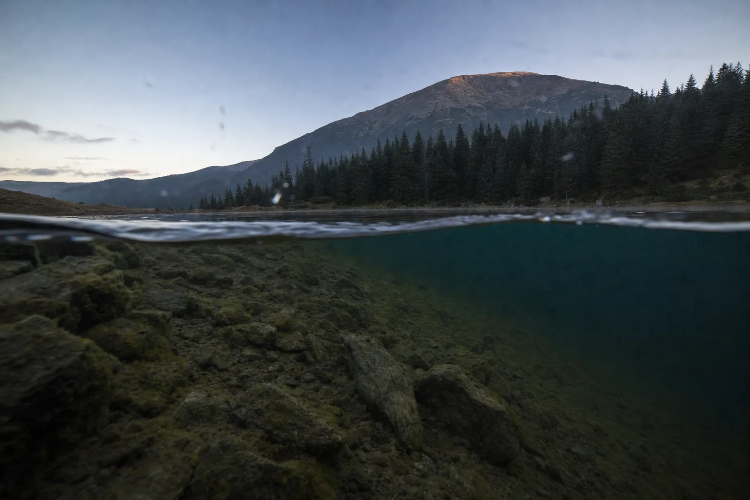
- Lakes, rivers and bays
- 78,208
- Depth charts
- 12,945
- Fish species
- 267
- Fishing spots: ramps, piers & shore
- 63,127
Ask the water
Anglers in the US had the data, but scattered: government soundings, water samples, stocking records and boat ramps live on different sites in different formats.
TripsQuick brings nine public sources together on one page per lake or river. Everything is free; anglers pay for convenience — a week-ahead forecast, alerts, offline depth maps and an unlimited assistant.
Turn raw government data into depth maps people can trust — without ever drawing water deeper than was actually measured.
A dedicated Python + PostGIS server downloads the raw sources itself (NHD outlines and eHydro soundings), builds depth contours at adaptive intervals and packs them into vector tiles. Where there is no survey, the map stays empty instead of guessing.
What anglers get
- 01
Depth maps
Contours from official USACE, NOAA and state soundings, never deeper than measured.
- 02
One page per water
Nine public sources merged: outlines, depths, water samples, stocking records and boat ramps.
- 03
Bite forecast
A daily bite score and a week-ahead forecast for each lake or river.
- 04
AI assistant
People ask in plain language; the agent calls the tools itself — water search, forecast, depth map and directions to the ramp.
- 05
Route to the depth
GraphHopper plots the route from the ramp to the right depth.
- 06
267 fish species
A species handbook linked to the waters where each fish lives.
Built on open data and plain files
Vector tiles are packed with tippecanoe into PMTiles and served by nginx as static files via Range requests — full detail up close, light tiles when zoomed out, no CDN or object storage. The assistant builds its answer cards from that data, so every answer is based on facts, not guesswork.
- Next.js
- Web app, EN / ES
- Python + PostGIS
- Data pipeline, depth contours
- tippecanoe → PMTiles
- Vector tiles
- nginx Range requests
- Tile delivery without a CDN
- Elasticsearch
- Water search
- GraphHopper
- Routing from ramp to depth
- LLM agent
- Assistant with tools
Have data that should become a product?
Public datasets, sensor feeds or a messy archive — we turn raw data into maps, search and AI tools people use every day.
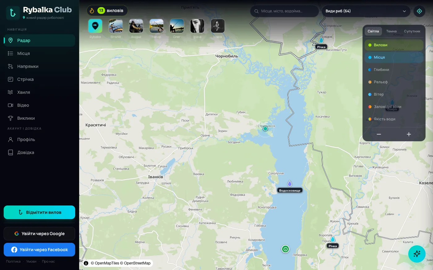
Rybalka Club
Fishing community, bite forecast and an AI assistant
Let’s talk.
Tell us what you’re building. You’ll get a reply and a first estimate within 24 hours.
Fill in the brief →